
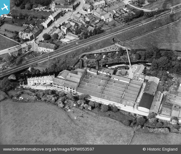
EPW053597 ENGLAND (1937). The Low Silk Mills, Low Bentham, 1937
© Copyright OpenStreetMap contributors and licensed by the OpenStreetMap Foundation. 2026. Cartography is licensed as CC BY-SA.
Nearby Images (7)
EPW053597

EPW053599

EPW053602

EPW053598

EPW053603

EPW053600

EPW053601

Details
| Title | [EPW053597] The Low Silk Mills, Low Bentham, 1937 |
| Reference | EPW053597 |
| Date | 11-June-1937 |
| Link | |
| Place name | LOW BENTHAM |
| Parish | BENTHAM |
| District | |
| Country | ENGLAND |
| Easting / Northing | 364920, 469298 |
| Longitude / Latitude | -2.5367431710096, 54.11817491443 |
| National Grid Reference | SD649693 |
Pins
Be the first to add a comment to this image!