
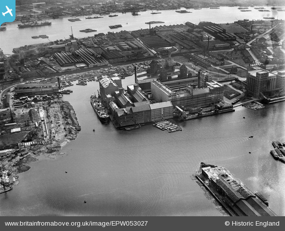
EPW053027 ENGLAND (1937). The Millennium and Premier Mills at Royal Victoria Dock and environs, Silvertown, 1937
© Copyright OpenStreetMap contributors and licensed by the OpenStreetMap Foundation. 2026. Cartography is licensed as CC BY-SA.
Nearby Images (38)
EPW053027

EAW035963

EAW035763

EPW005308

EPW008883

EPW053179

EPW053182

EAW035760

EPW053024

EAW035967

EPW053181

EAW035965

EAW035762

EAW035964

EAW035761

EPW059357A

EPW053180

EAW035968

EPW053023

EAW035961

EPW044123

EAW021715

EAW035962

EAW035764

EPW053026

EPW032928

EPW053056

EAW015525
, Silvertown, 1948. This image has been produced from a damaged negative.")
EAW015524
, Silvertown, 1948. This image has been produced from a damaged negative.")
EAW015526
, Silvertown, 1948. This image has been produced from a damaged negative.")
EAW000056

EPW053025

EAW035770

EAW035767

EAW035966

EAW035771

EAW015522
, Silvertown, 1948. This image has been produced from a damaged negative.")
EAW021714

Details
| Title | [EPW053027] The Millennium and Premier Mills at Royal Victoria Dock and environs, Silvertown, 1937 |
| Reference | EPW053027 |
| Date | 17-May-1937 |
| Link | |
| Place name | SILVERTOWN |
| Parish | |
| District | |
| Country | ENGLAND |
| Easting / Northing | 541109, 180462 |
| Longitude / Latitude | 0.033409641349094, 51.50496717071 |
| National Grid Reference | TQ411805 |
Pins

egh |
Saturday 20th of December 2025 01:00:58 PM | |
|
egh |
Saturday 20th of December 2025 12:57:06 PM | |

Class31 |
Saturday 28th of February 2015 09:10:39 AM |