
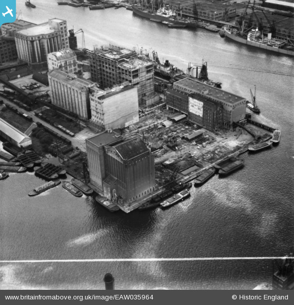
EAW035964 ENGLAND (1951). Premier and Millenium Mills at Royal Victoria Dock, Silvertown, 1951. This image has been produced from a print marked by Aerofilms Ltd for photo editing.
© Copyright OpenStreetMap contributors and licensed by the OpenStreetMap Foundation. 2026. Cartography is licensed as CC BY-SA.
Nearby Images (41)
EAW035964

EAW035965

EAW035968

EAW035761

EAW035961

EAW035760

EPW053024

EAW035967

EPW005308

EAW035764

EAW035762

EAW035963

EPW053023

EAW035962

EAW035763

EAW015525
, Silvertown, 1948. This image has been produced from a damaged negative.")
EAW015524
, Silvertown, 1948. This image has been produced from a damaged negative.")
EAW015526
, Silvertown, 1948. This image has been produced from a damaged negative.")
EPW053027

EPW053179

EPW053182

EPW053181

EAW021715

EAW035966

EPW053180

EAW015522
, Silvertown, 1948. This image has been produced from a damaged negative.")
EPW008883

EPW044123

EAW015527
 and the River Thames, Silvertown, 1948. This image has been produced from a damaged negative.")
EAW015531
 and environs, Silvertown, 1948. This image has been produced from a damaged negative.")
EAW015532
 and environs, Silvertown, 1948. This image has been produced from a damaged negative.")
EPW053056

EPW053026

EPW059357A

EPW053025

EAW015528
 and the River Thames, Silvertown, 1948. This image has been produced from a damaged negative.")
EAW015523
 and the River Thames, Silvertown, 1948. This image has been produced from a damaged negative.")
EAW035767

EAW015530
 and environs, Silvertown, 1948. This image has been produced from a damaged negative.")
EAW035770

EAW000056

Details
| Title | [EAW035964] Premier and Millenium Mills at Royal Victoria Dock, Silvertown, 1951. This image has been produced from a print marked by Aerofilms Ltd for photo editing. |
| Reference | EAW035964 |
| Date | 18-May-1951 |
| Link | |
| Place name | SILVERTOWN |
| Parish | |
| District | |
| Country | ENGLAND |
| Easting / Northing | 541124, 180357 |
| Longitude / Latitude | 0.033583627706304, 51.504019807361 |
| National Grid Reference | TQ411804 |
Pins

Class31 |
Saturday 28th of February 2015 08:36:30 AM |