
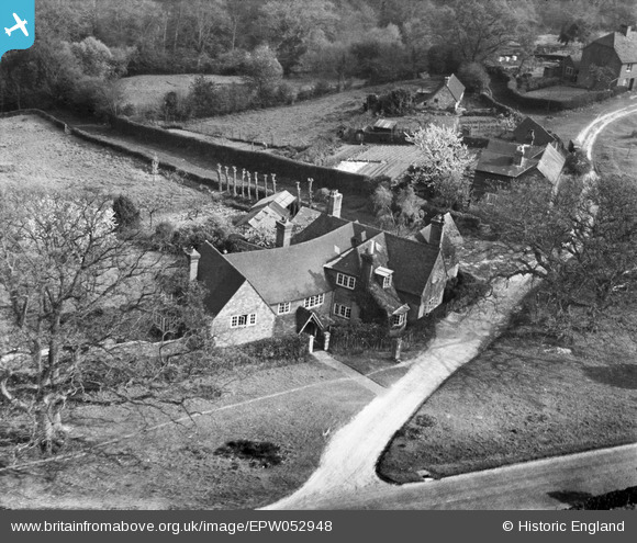
EPW052948 ENGLAND (1937). Chuck Hatch House, Chuck Hatch, 1937
© Copyright OpenStreetMap contributors and licensed by the OpenStreetMap Foundation. 2025. Cartography is licensed as CC BY-SA.
Nearby Images (4)
EPW052948

EPW052946

EPW052947

EPW052949

Details
| Title | [EPW052948] Chuck Hatch House, Chuck Hatch, 1937 |
| Reference | EPW052948 |
| Date | 4-May-1937 |
| Link | |
| Place name | CHUCK HATCH |
| Parish | HARTFIELD |
| District | |
| Country | ENGLAND |
| Easting / Northing | 547407, 133179 |
| Longitude / Latitude | 0.10457577062268, 51.078441201644 |
| National Grid Reference | TQ474332 |
Pins
Be the first to add a comment to this image!