
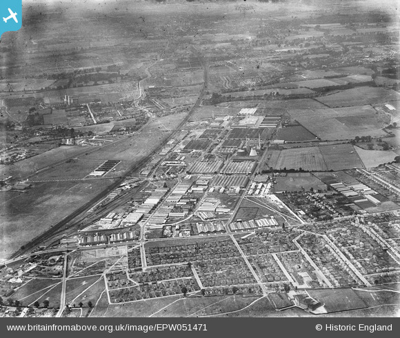
EPW051471 ENGLAND (1936). Slough Trading Estate and environs, Slough, from the east, 1936
© Copyright OpenStreetMap contributors and licensed by the OpenStreetMap Foundation. 2026. Cartography is licensed as CC BY-SA.
Nearby Images (9)
EPW051471

EPW025659

EPW025674

EPW025656

EPW025673

EPW051469

EPW025660

EPW000024

EPW025678

Details
| Title | [EPW051471] Slough Trading Estate and environs, Slough, from the east, 1936 |
| Reference | EPW051471 |
| Date | August-1936 |
| Link | |
| Place name | SLOUGH |
| Parish | |
| District | |
| Country | ENGLAND |
| Easting / Northing | 496159, 181207 |
| Longitude / Latitude | -0.61387429556957, 51.521103955731 |
| National Grid Reference | SU962812 |
Pins

designking |
Tuesday 21st of October 2025 09:20:40 PM | |
|
designking |
Tuesday 21st of October 2025 09:18:09 PM | |
|
designking |
Tuesday 21st of October 2025 09:08:14 PM | |
|
designking |
Tuesday 21st of October 2025 09:05:24 PM | |
|
designking |
Tuesday 21st of October 2025 08:57:21 PM | |
|
designking |
Tuesday 21st of October 2025 08:56:27 PM | |
|
designking |
Tuesday 21st of October 2025 08:55:43 PM | |
|
dave43 |
Saturday 21st of July 2018 07:51:31 PM | |
|
dave43 |
Saturday 21st of July 2018 07:50:45 PM | |
|
fulham rebel |
Thursday 4th of August 2016 08:17:41 PM |