
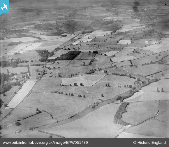
EPW051439 ENGLAND (1936). Countryside around Longdole Coppice and Cound Brook, Eyton on Severn, from the east, 1936
© Copyright OpenStreetMap contributors and licensed by the OpenStreetMap Foundation. 2026. Cartography is licensed as CC BY-SA.
Nearby Images (3)
EPW051439

EAW012556

EAW012651

Details
| Title | [EPW051439] Countryside around Longdole Coppice and Cound Brook, Eyton on Severn, from the east, 1936 |
| Reference | EPW051439 |
| Date | August-1936 |
| Link | |
| Place name | EYTON ON SEVERN |
| Parish | COUND |
| District | |
| Country | ENGLAND |
| Easting / Northing | 356848, 305735 |
| Longitude / Latitude | -2.6378796777648, 52.6472826967 |
| National Grid Reference | SJ568057 |
Pins

severnsider |
Monday 29th of July 2013 04:20:19 PM | |
|
severnsider |
Monday 29th of July 2013 04:19:33 PM | |
|
severnsider |
Monday 29th of July 2013 04:19:06 PM |