
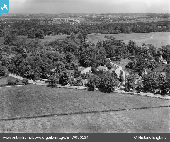
EPW050134 ENGLAND (1936). The grounds of Woodcote Park house (Royal Automobile Club), Woodcote Park, from the west, 1936
© Copyright OpenStreetMap contributors and licensed by the OpenStreetMap Foundation. 2026. Cartography is licensed as CC BY-SA.
Nearby Images (2)
EPW050134
, Woodcote Park, from the west, 1936")
EPW050133
, Woodcote Park, 1936")
Details
| Title | [EPW050134] The grounds of Woodcote Park house (Royal Automobile Club), Woodcote Park, from the west, 1936 |
| Reference | EPW050134 |
| Date | May-1936 |
| Link | |
| Place name | WOODCOTE PARK |
| Parish | |
| District | |
| Country | ENGLAND |
| Easting / Northing | 519933, 158885 |
| Longitude / Latitude | -0.27887843847807, 51.315912918572 |
| National Grid Reference | TQ199589 |
Pins
Be the first to add a comment to this image!