
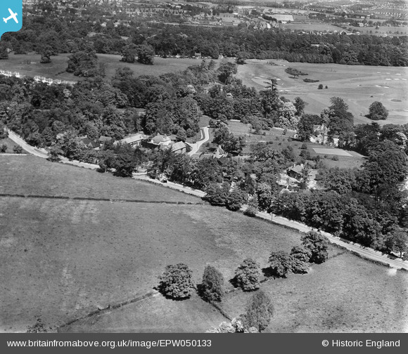
EPW050133 ENGLAND (1936). The grounds of Woodcote Park house (Royal Automobile Club), Woodcote Park, 1936
© Copyright OpenStreetMap contributors and licensed by the OpenStreetMap Foundation. 2026. Cartography is licensed as CC BY-SA.
Nearby Images (4)
EPW050133
, Woodcote Park, 1936")
EPW050134
, Woodcote Park, from the west, 1936")
EPW050135
, Woodcote Park, from the west, 1936")
EPW025265
, Woodcote Park, 1928. This image has been produced from a print.")
Details
| Title | [EPW050133] The grounds of Woodcote Park house (Royal Automobile Club), Woodcote Park, 1936 |
| Reference | EPW050133 |
| Date | May-1936 |
| Link | |
| Place name | WOODCOTE PARK |
| Parish | |
| District | |
| Country | ENGLAND |
| Easting / Northing | 520033, 158829 |
| Longitude / Latitude | -0.27746292149719, 51.315388457519 |
| National Grid Reference | TQ200588 |
Pins
Be the first to add a comment to this image!