
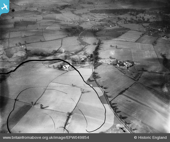
EPW049854 ENGLAND (1936). The village and surrounding countryside, Bradney, from the north-east, 1936. This image has been produced from a damaged negative.
© Copyright OpenStreetMap contributors and licensed by the OpenStreetMap Foundation. 2026. Cartography is licensed as CC BY-SA.
Nearby Images (2)
EPW049854

EPW049842

Details
| Title | [EPW049854] The village and surrounding countryside, Bradney, from the north-east, 1936. This image has been produced from a damaged negative. |
| Reference | EPW049854 |
| Date | April-1936 |
| Link | |
| Place name | BRADNEY |
| Parish | WORFIELD |
| District | |
| Country | ENGLAND |
| Easting / Northing | 377014, 295961 |
| Longitude / Latitude | -2.3391115133632, 52.56063762 |
| National Grid Reference | SO770960 |
Pins
Be the first to add a comment to this image!