
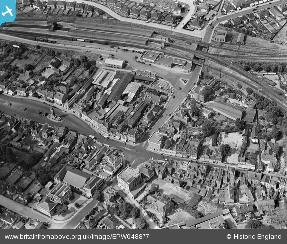
EPW048877 ENGLAND (1935). Epsom Railway Station and the High Street, Epsom, 1935
© Copyright OpenStreetMap contributors and licensed by the OpenStreetMap Foundation. 2026. Cartography is licensed as CC BY-SA.
Nearby Images (16)
EPW048877

EPW025143

EPW057024

EPW025262

EPW025146

EAW024760

EPW057023

EAW024762

EPW048876

EPW025148

EPW006480

EPW006492

EPW006487

EPW006486

EAW043020

EPW007916

Details
| Title | [EPW048877] Epsom Railway Station and the High Street, Epsom, 1935 |
| Reference | EPW048877 |
| Date | August-1935 |
| Link | |
| Place name | EPSOM |
| Parish | |
| District | |
| Country | ENGLAND |
| Easting / Northing | 520785, 160821 |
| Longitude / Latitude | -0.26600133038075, 51.333134685947 |
| National Grid Reference | TQ208608 |


