
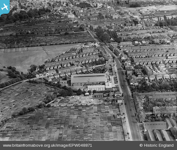
EPW048871 ENGLAND (1935). Botley Road and environs, Oxford, 1935
© Copyright OpenStreetMap contributors and licensed by the OpenStreetMap Foundation. 2026. Cartography is licensed as CC BY-SA.
Nearby Images (5)
EPW048871

EPW048873

EPW048869

EPW048872

EPW048870

Details
| Title | [EPW048871] Botley Road and environs, Oxford, 1935 |
| Reference | EPW048871 |
| Date | August-1935 |
| Link | |
| Place name | OXFORD |
| Parish | |
| District | |
| Country | ENGLAND |
| Easting / Northing | 449855, 206277 |
| Longitude / Latitude | -1.2776880473339, 51.752510305367 |
| National Grid Reference | SP499063 |
Pins

SpongeLab |
Wednesday 19th of February 2025 04:12:56 PM | |
|
SpongeLab |
Wednesday 19th of February 2025 04:12:33 PM | |
|
SpongeLab |
Wednesday 19th of February 2025 04:11:47 PM | |
|
SpongeLab |
Wednesday 19th of February 2025 04:10:54 PM |