
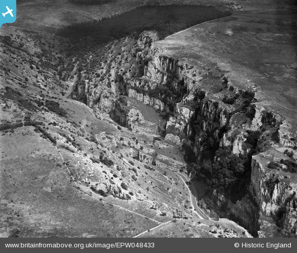
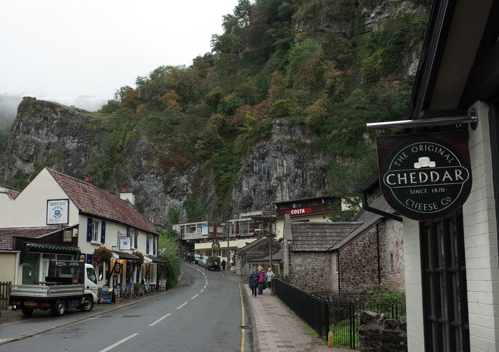
EPW048433 ENGLAND (1935). Cheddar Gorge, Cheddar, 1935
© Copyright OpenStreetMap contributors and licensed by the OpenStreetMap Foundation. 2026. Cartography is licensed as CC BY-SA.
Nearby Images (6)
EPW048433

EPW011749

EAW025159

EPW048432

EPW033372

EAW025098

Details
| Title | [EPW048433] Cheddar Gorge, Cheddar, 1935 |
| Reference | EPW048433 |
| Date | July-1935 |
| Link | |
| Place name | CHEDDAR |
| Parish | CHEDDAR |
| District | |
| Country | ENGLAND |
| Easting / Northing | 347332, 154339 |
| Longitude / Latitude | -2.7552987190569, 51.285242511286 |
| National Grid Reference | ST473543 |
Pins
Be the first to add a comment to this image!
User Comment Contributions
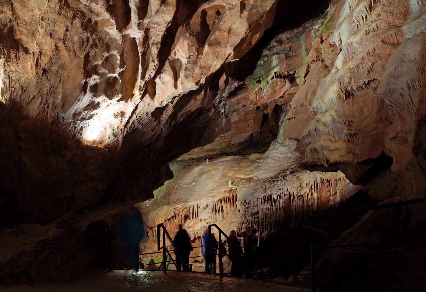
Gough's Cave Cheddar Gorge |

Alan McFaden |
Monday 24th of November 2014 01:10:37 PM |
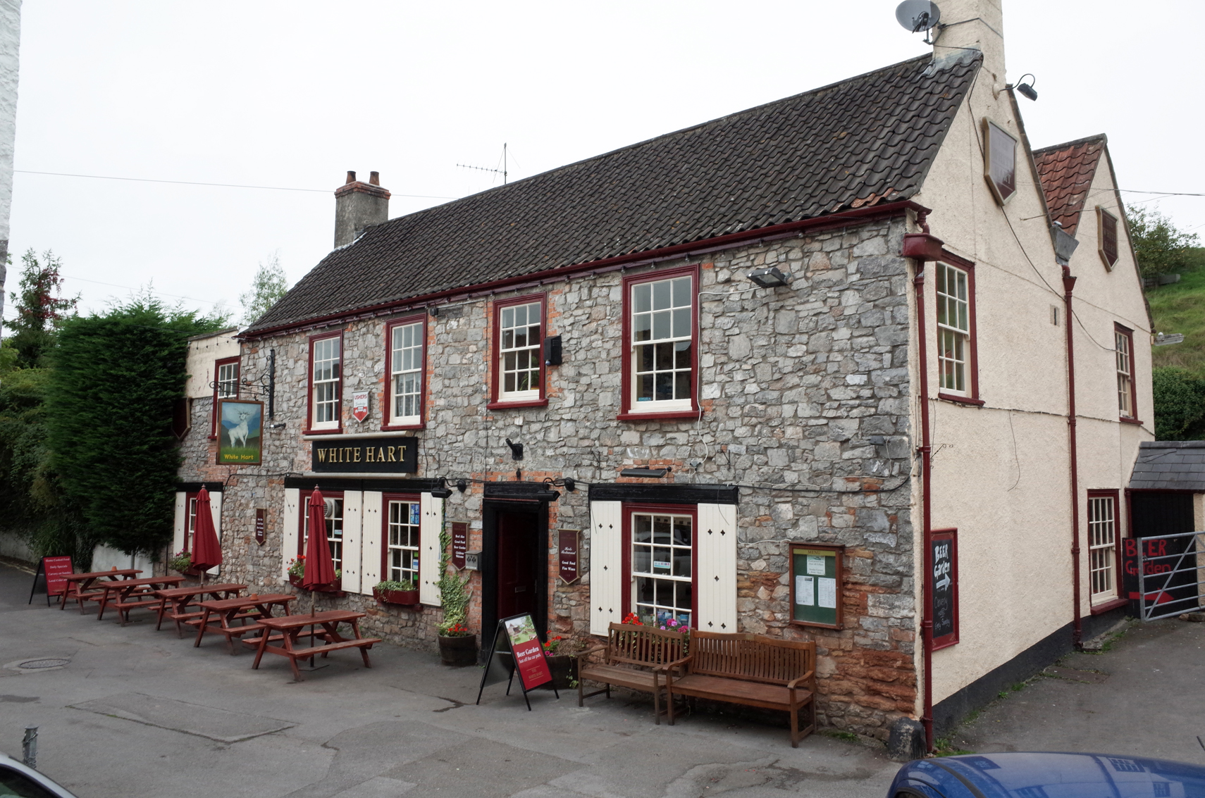
The White Hart PH Cheddar Gorge |
Alan McFaden |
Monday 24th of November 2014 01:10:03 PM |
Cheddar Gorge |
Alan McFaden |
Monday 24th of November 2014 01:09:20 PM |
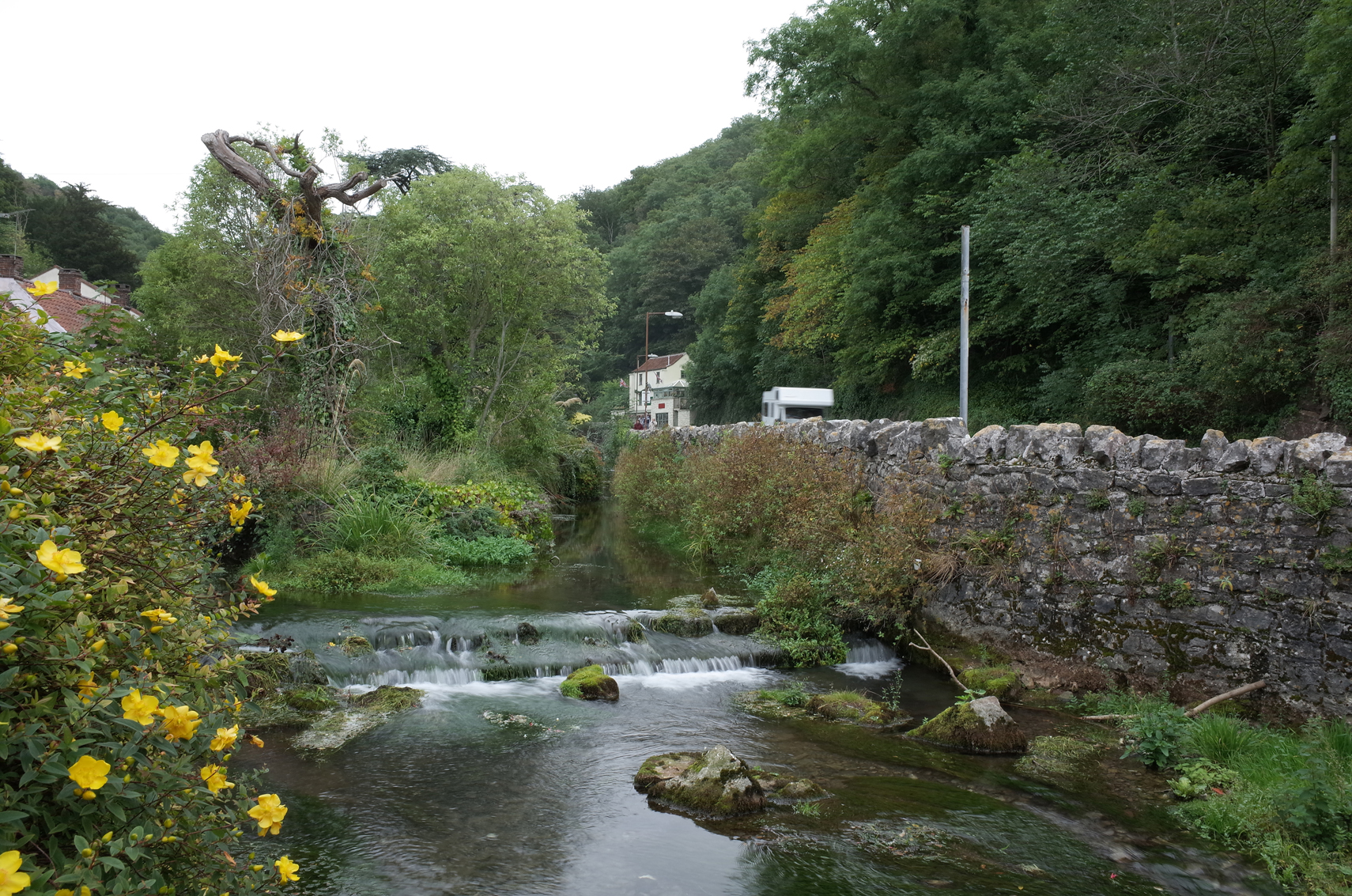
Cheddar Gorge |
Alan McFaden |
Monday 24th of November 2014 01:08:56 PM |