
EPW033372 ENGLAND (1930). Cheddar Gorge, Cheddar, 1930. This image has been produced from a copy-negative.

© Copyright OpenStreetMap contributors and licensed by the OpenStreetMap Foundation. 2026. Cartography is licensed as CC BY-SA.
Nearby Images (8)
EPW033372

EAW025098

EPW048432

EPW011749

EAW025159

EPW048433

EAW004865

EAW004866

Details
| Title | [EPW033372] Cheddar Gorge, Cheddar, 1930. This image has been produced from a copy-negative. |
| Reference | EPW033372 |
| Date | July-1930 |
| Link | |
| Place name | CHEDDAR |
| Parish | CHEDDAR |
| District | |
| Country | ENGLAND |
| Easting / Northing | 347146, 154350 |
| Longitude / Latitude | -2.7579674771022, 51.285324189128 |
| National Grid Reference | ST471544 |
Pins
Be the first to add a comment to this image!
User Comment Contributions
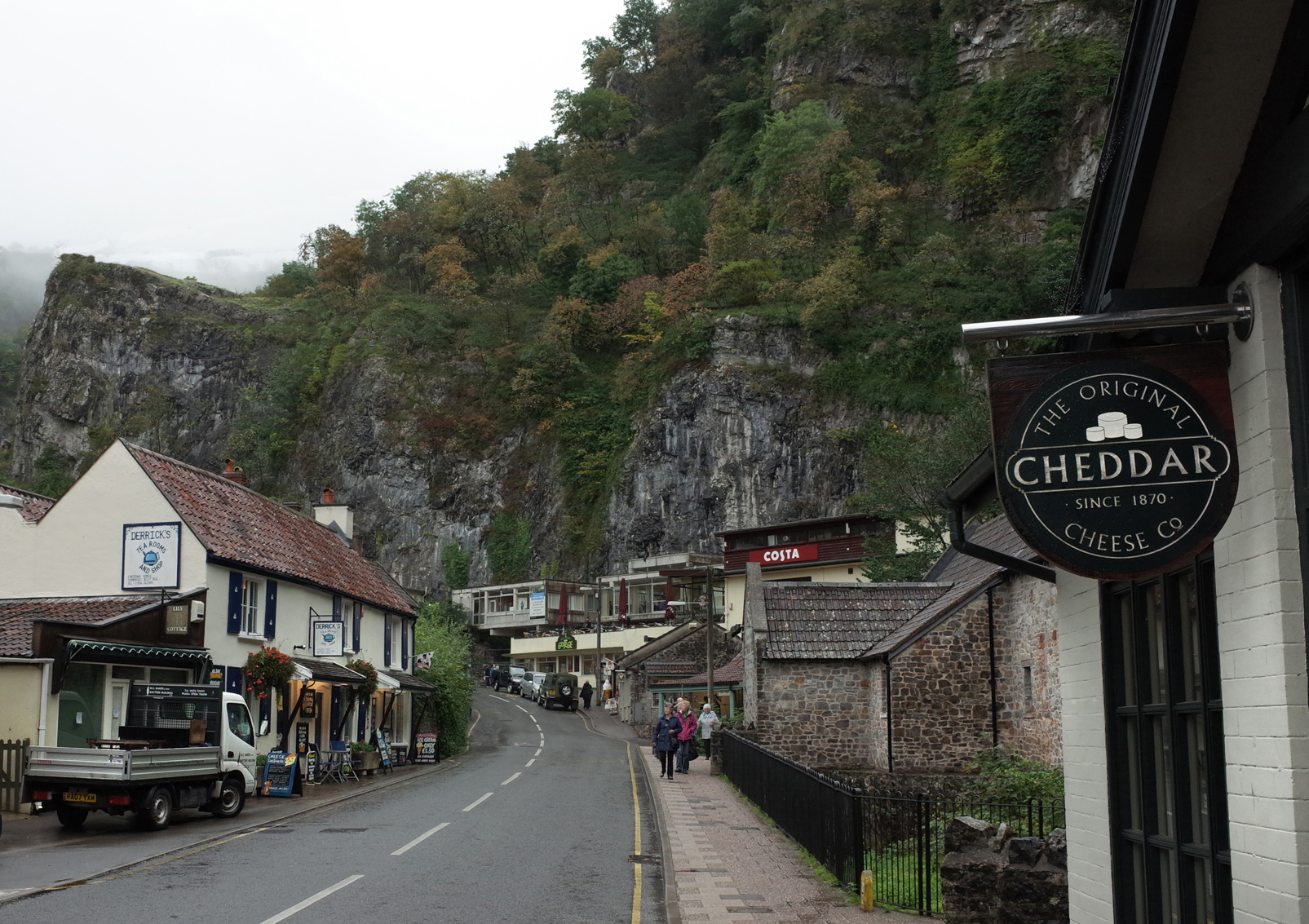
Cheddar Gorge |

Alan McFaden |
Wednesday 12th of November 2014 05:33:42 PM |

Gough's Cave Cheddar Gorge |
Alan McFaden |
Wednesday 12th of November 2014 05:33:21 PM |
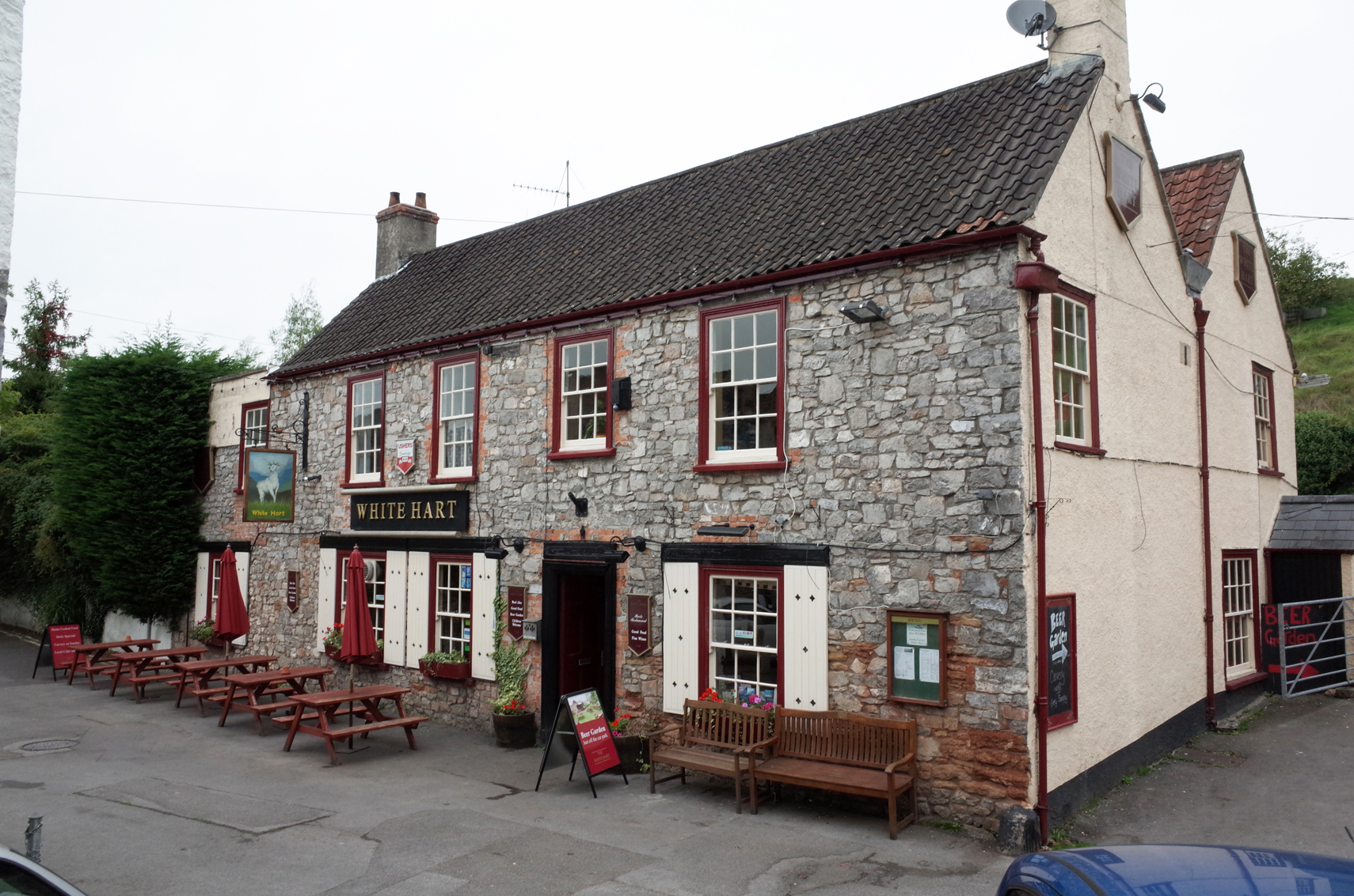
White Hart PH Cheddar Gorge |
Alan McFaden |
Wednesday 12th of November 2014 05:32:51 PM |
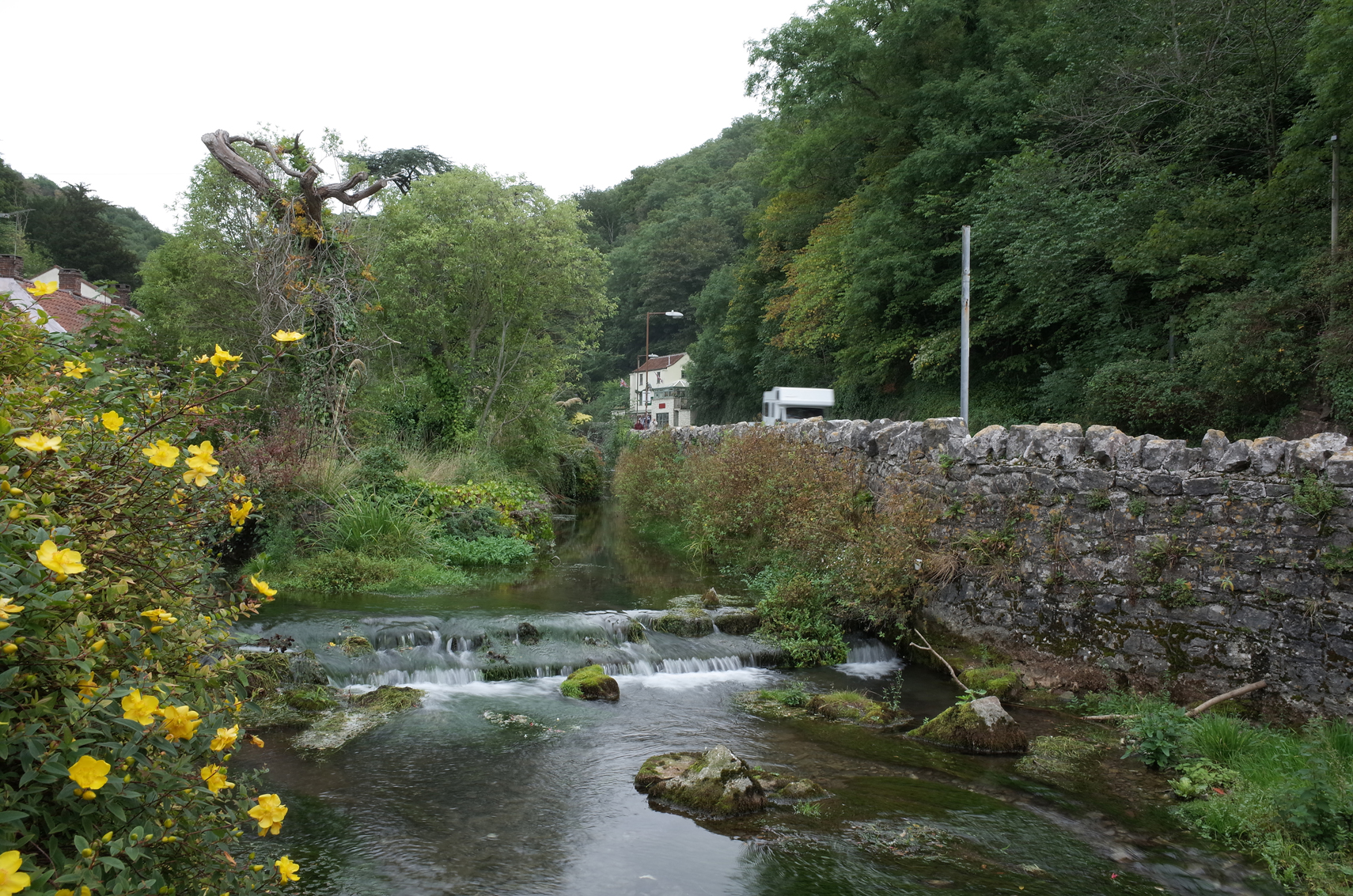
Cheddar Gorge |
Alan McFaden |
Wednesday 12th of November 2014 05:32:16 PM |