
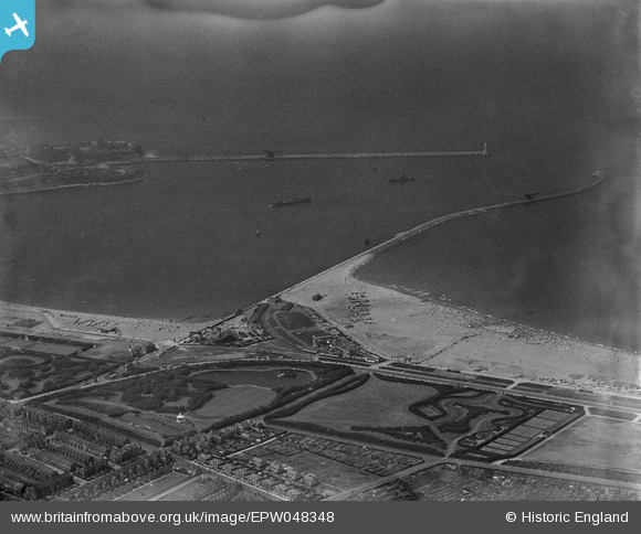
EPW048348 ENGLAND (1935). The entrance to the River Tyne and South Marine Park, South Shields, 1935
© Copyright OpenStreetMap contributors and licensed by the OpenStreetMap Foundation. 2026. Cartography is licensed as CC BY-SA.
Nearby Images (2)
EPW048348

EPW048795

Details
| Title | [EPW048348] The entrance to the River Tyne and South Marine Park, South Shields, 1935 |
| Reference | EPW048348 |
| Date | July-1935 |
| Link | |
| Place name | SOUTH SHIELDS |
| Parish | |
| District | |
| Country | ENGLAND |
| Easting / Northing | 437488, 568002 |
| Longitude / Latitude | -1.4138273560649, 55.005098362413 |
| National Grid Reference | NZ375680 |
Pins

N Dunn |
Tuesday 11th of October 2016 03:11:23 PM | |
|
N Dunn |
Friday 24th of January 2014 10:20:30 AM | |
|
N Dunn |
Friday 24th of January 2014 10:19:33 AM | |
|
N Dunn |
Friday 24th of January 2014 10:19:01 AM | |
|
N Dunn |
Friday 24th of January 2014 10:18:13 AM | |
|
N Dunn |
Friday 24th of January 2014 10:15:14 AM | |
|
N Dunn |
Friday 24th of January 2014 10:13:36 AM | |
|
N Dunn |
Friday 24th of January 2014 10:13:09 AM | |
 |
N Dunn |
Saturday 14th of September 2013 01:11:13 PM |
|
N Dunn |
Saturday 14th of September 2013 01:08:28 PM | |
 |
N Dunn |
Saturday 14th of September 2013 01:06:49 PM |
