
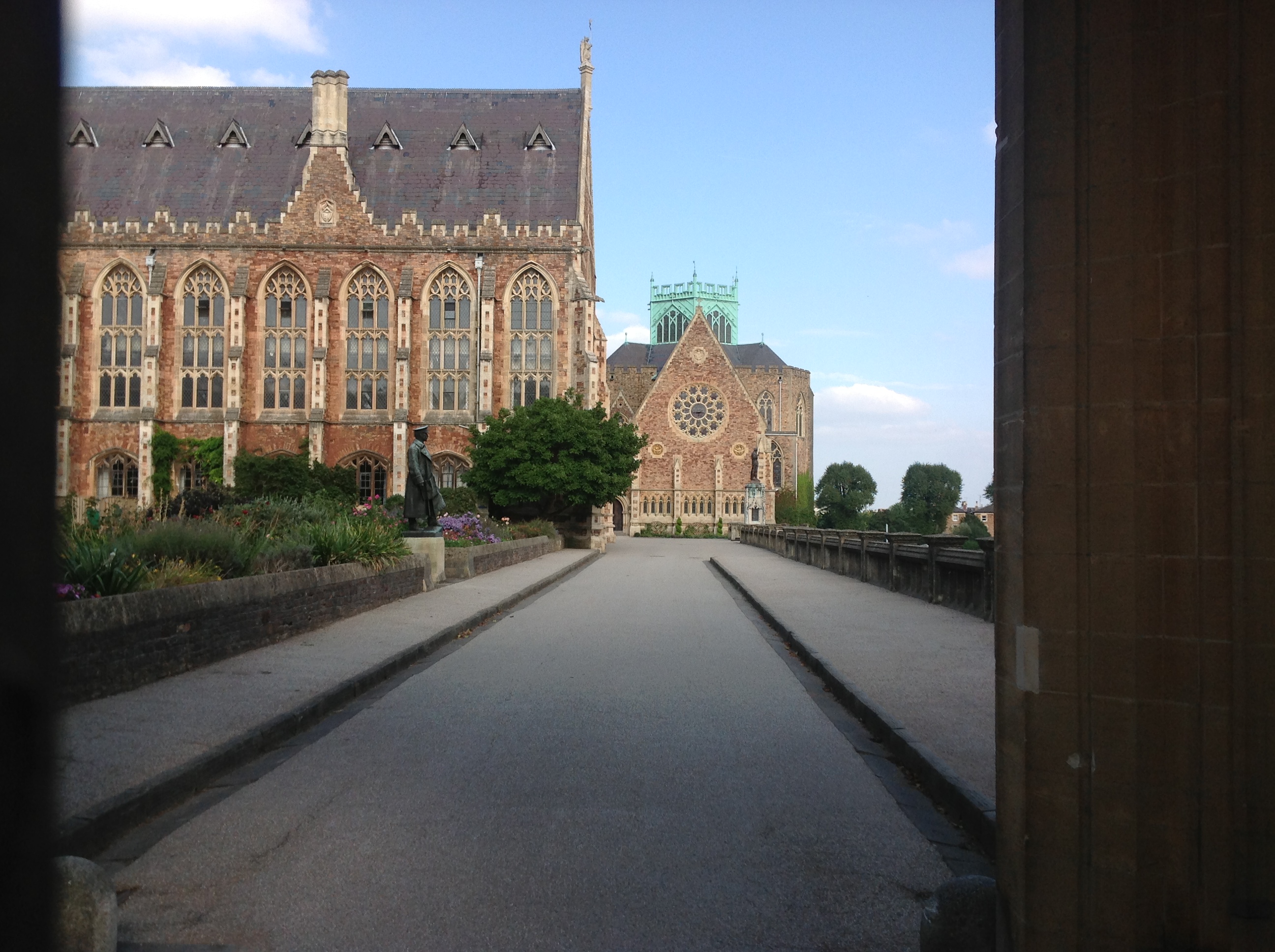
EPW048293 ENGLAND (1935). The Clifton Observatory, College Close and the surrounding residential area, Clifton, 1935

© Copyright OpenStreetMap contributors and licensed by the OpenStreetMap Foundation. 2026. Cartography is licensed as CC BY-SA.
Nearby Images (15)
EPW048293

EPW048294

EPW048291

EPW048297

EPW048298

EPW048296

EPW048290

EPW048300

EPW049533

EPW048292

EPW048295

EPW032530

EPW005467

EPW005466

EPW005475

Details
| Title | [EPW048293] The Clifton Observatory, College Close and the surrounding residential area, Clifton, 1935 |
| Reference | EPW048293 |
| Date | July-1935 |
| Link | |
| Place name | CLIFTON |
| Parish | |
| District | |
| Country | ENGLAND |
| Easting / Northing | 356768, 173608 |
| Longitude / Latitude | -2.6223335981289, 51.459307333454 |
| National Grid Reference | ST568736 |
Pins
Be the first to add a comment to this image!
User Comment Contributions
Clifton College looking east 29/09/2013 |

Class31 |
Tuesday 1st of October 2013 09:06:42 AM |