
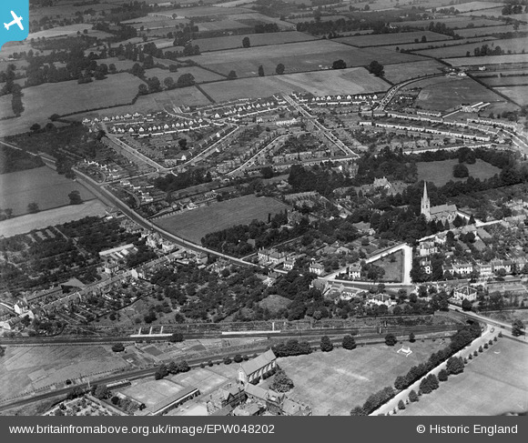
EPW048202 ENGLAND (1935). The St Mark's estate and environs, Cheltenham, from the south-east, 1935
© Copyright OpenStreetMap contributors and licensed by the OpenStreetMap Foundation. 2026. Cartography is licensed as CC BY-SA.
Nearby Images (7)
EPW048202

EPW024136

EPW048201

EPW000176

EPR000394

EPW024133

EPW000172

Details
| Title | [EPW048202] The St Mark's estate and environs, Cheltenham, from the south-east, 1935 |
| Reference | EPW048202 |
| Date | July-1935 |
| Link | |
| Place name | CHELTENHAM |
| Parish | |
| District | |
| Country | ENGLAND |
| Easting / Northing | 392750, 221832 |
| Longitude / Latitude | -2.1053700832465, 51.894553119426 |
| National Grid Reference | SO928218 |
Pins

Stacy |
Tuesday 20th of May 2025 03:43:49 PM |
User Comment Contributions
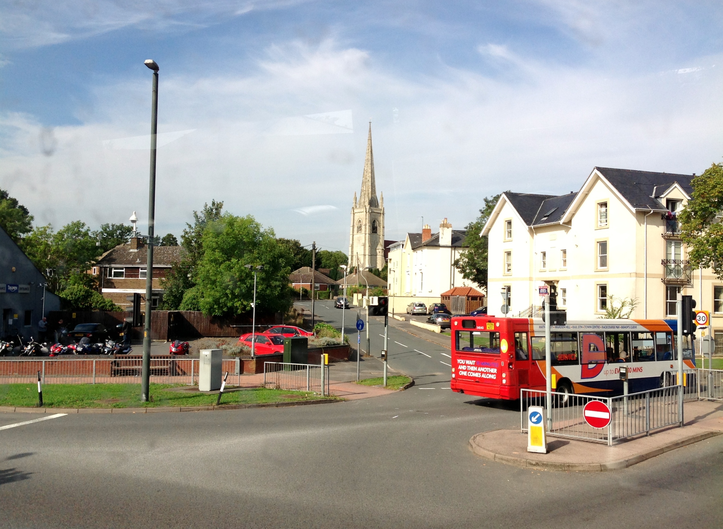
St. Mark's C of E Church from Lansdown Road A40 27/09/2013 |

Class31 |
Tuesday 10th of December 2013 07:37:26 PM |