
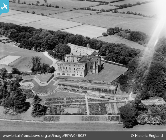
EPW048037 ENGLAND (1935). Gilling Castle, Gilling East, 1935
© Copyright OpenStreetMap contributors and licensed by the OpenStreetMap Foundation. 2026. Cartography is licensed as CC BY-SA.
Nearby Images (12)
EPW048037

EPW048039

EPW048043

EPW048741

EPW048042

EPW048742

EPW048041

EPW048038

EPW048034

EPW048040

EPW048035

EPW048036

Details
| Title | [EPW048037] Gilling Castle, Gilling East, 1935 |
| Reference | EPW048037 |
| Date | June-1935 |
| Link | |
| Place name | GILLING EAST |
| Parish | GILLING EAST |
| District | |
| Country | ENGLAND |
| Easting / Northing | 461126, 476788 |
| Longitude / Latitude | -1.0632664567473, 54.183053202328 |
| National Grid Reference | SE611768 |
Pins
Be the first to add a comment to this image!