
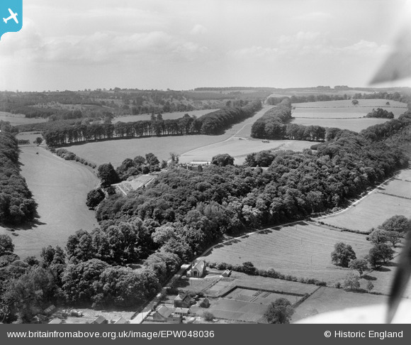
EPW048036 ENGLAND (1935). Gilling Park, Gilling East, from the north-east, 1935
© Copyright OpenStreetMap contributors and licensed by the OpenStreetMap Foundation. 2026. Cartography is licensed as CC BY-SA.
Nearby Images (11)
EPW048036

EPW048035

EPW048040

EPW048034

EPW048042

EPW048742

EPW048037

EPW048741

EPW048043

EPW048039

EPW048041

Details
| Title | [EPW048036] Gilling Park, Gilling East, from the north-east, 1935 |
| Reference | EPW048036 |
| Date | June-1935 |
| Link | |
| Place name | GILLING EAST |
| Parish | GILLING EAST |
| District | |
| Country | ENGLAND |
| Easting / Northing | 461293, 476943 |
| Longitude / Latitude | -1.0606760467988, 54.184426295885 |
| National Grid Reference | SE613769 |
Pins
Be the first to add a comment to this image!