
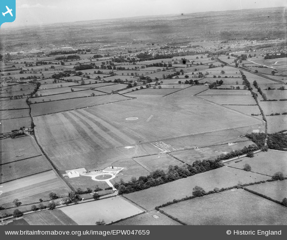
EPW047659 ENGLAND (1935). Leicester (Braunstone) Aerodrome and environs, Leicester, from the west, 1935
© Copyright OpenStreetMap contributors and licensed by the OpenStreetMap Foundation. 2026. Cartography is licensed as CC BY-SA.
Nearby Images (7)
EPW047659
 Aerodrome and environs, Leicester, from the west, 1935")
EPW047658
 Aerodrome and environs, Leicester, from the north-west, 1935")
EPW047657
 Aerodrome and environs, Leicester, from the north-west, 1935")
EPW047656
 Aerodrome and environs, Leicester, from the north-west, 1935")
EPW047662
 Aerodrome and environs, Leicester, from the north-west, 1935")
EPW047660
 Aerodrome and environs, Leicester, from the north-west, 1935")
EPW047655
 Aerodrome and environs, Leicester, from the north-west, 1935")
Details
| Title | [EPW047659] Leicester (Braunstone) Aerodrome and environs, Leicester, from the west, 1935 |
| Reference | EPW047659 |
| Date | June-1935 |
| Link | |
| Place name | LEICESTER |
| Parish | |
| District | |
| Country | ENGLAND |
| Easting / Northing | 453495, 304123 |
| Longitude / Latitude | -1.2095040743492, 52.63186941309 |
| National Grid Reference | SK535041 |
Pins
Be the first to add a comment to this image!