
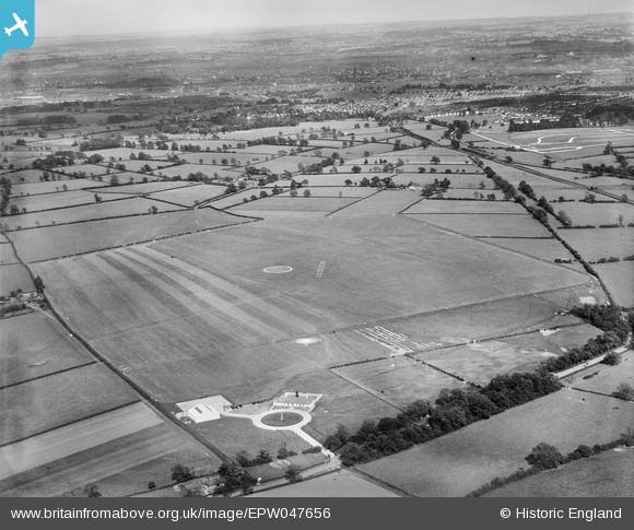
EPW047656 ENGLAND (1935). Leicester (Braunstone) Aerodrome and environs, Leicester, from the north-west, 1935
© Copyright OpenStreetMap contributors and licensed by the OpenStreetMap Foundation. 2026. Cartography is licensed as CC BY-SA.
Nearby Images (7)
EPW047656
 Aerodrome and environs, Leicester, from the north-west, 1935")
EPW047657
 Aerodrome and environs, Leicester, from the north-west, 1935")
EPW047655
 Aerodrome and environs, Leicester, from the north-west, 1935")
EPW047662
 Aerodrome and environs, Leicester, from the north-west, 1935")
EPW047659
 Aerodrome and environs, Leicester, from the west, 1935")
EPW047658
 Aerodrome and environs, Leicester, from the north-west, 1935")
EPW047660
 Aerodrome and environs, Leicester, from the north-west, 1935")
Details
| Title | [EPW047656] Leicester (Braunstone) Aerodrome and environs, Leicester, from the north-west, 1935 |
| Reference | EPW047656 |
| Date | June-1935 |
| Link | |
| Place name | LEICESTER |
| Parish | |
| District | |
| Country | ENGLAND |
| Easting / Northing | 453392, 304236 |
| Longitude / Latitude | -1.2110076747858, 52.632895418379 |
| National Grid Reference | SK534042 |
Pins

Ligeraceaster |
Wednesday 26th of June 2019 07:47:51 PM |