
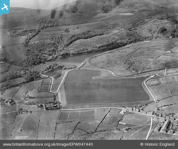
EPW047440 ENGLAND (1935). Arnfield, Hollingworth and Wastelodge Reservoirs and surrounding countryside, Arnfield, 1935
© Copyright OpenStreetMap contributors and licensed by the OpenStreetMap Foundation. 2026. Cartography is licensed as CC BY-SA.
Nearby Images (12)
EPW047440

EPW047438

EPW047430

EPW047434

EPW047435

EPW047431

EPW047439

EPW047436

EPW047433

EPW047429

EPW047437

EPW047432

Details
| Title | [EPW047440] Arnfield, Hollingworth and Wastelodge Reservoirs and surrounding countryside, Arnfield, 1935 |
| Reference | EPW047440 |
| Date | May-1935 |
| Link | |
| Place name | ARNFIELD |
| Parish | TINTWISTLE |
| District | |
| Country | ENGLAND |
| Easting / Northing | 401058, 397555 |
| Longitude / Latitude | -1.9840580903756, 53.474471623086 |
| National Grid Reference | SK011976 |
Pins
Be the first to add a comment to this image!