
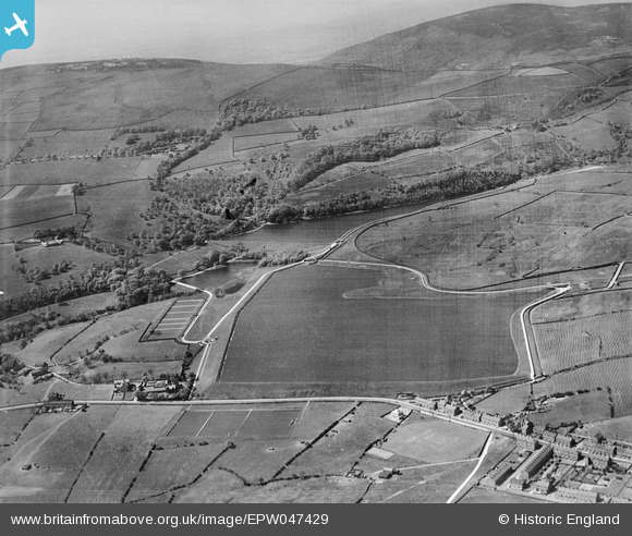
EPW047429 ENGLAND (1935). Arnfield and Hollingworth Reservoirs, Arnfield, 1935
© Copyright OpenStreetMap contributors and licensed by the OpenStreetMap Foundation. 2026. Cartography is licensed as CC BY-SA.
Nearby Images (11)
EPW047429

EPW047431

EPW047439

EPW047430

EPW047435

EPW047438

EPW047440

EPW047434

EPW047432

EPW047433

EPW047436

Details
| Title | [EPW047429] Arnfield and Hollingworth Reservoirs, Arnfield, 1935 |
| Reference | EPW047429 |
| Date | May-1935 |
| Link | |
| Place name | ARNFIELD |
| Parish | TINTWISTLE |
| District | |
| Country | ENGLAND |
| Easting / Northing | 400937, 397590 |
| Longitude / Latitude | -1.9858812099474, 53.474786484871 |
| National Grid Reference | SK009976 |
Pins

ColinP |
Saturday 18th of July 2015 07:34:34 PM |