
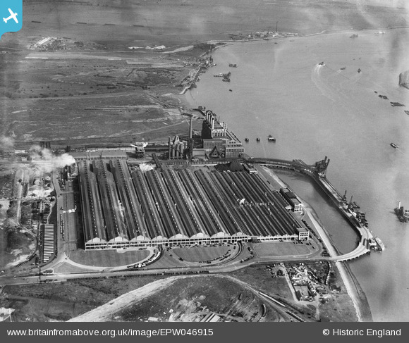
EPW046915 ENGLAND (1935). The Ford Motor Company Works, Dagenham, from the north-west, 1935
© Copyright OpenStreetMap contributors and licensed by the OpenStreetMap Foundation. 2026. Cartography is licensed as CC BY-SA.
Nearby Images (48)
EPW046915

EPW055162

EAW041033

EAW021712

EAW022764

EPW032052

EAW022768

EAW000070

EPW055196

EPW046923

EPW055195

EPW037317

EAW053048

EAW053046

EPW055164

EAW053203

EPW055198

EPW055197

EPW037317A

EPW061003

EAW053045

EPW061002

EAW022776

EPW062034

EPW055160

EPW055200

EAW029519

EPW046938

EPW062035

EAW000074

EAW029510

EPW046928

EPW055149

EPW055194

EPW055163

EAW022774

EAW029508

EAW022771

EAW000071

EPW046932

EPW021392

EAW022765

EPW046924

EAW041029

EPW060999

EPW061001

EAW029518

EPW046927

Details
| Title | [EPW046915] The Ford Motor Company Works, Dagenham, from the north-west, 1935 |
| Reference | EPW046915 |
| Date | May-1935 |
| Link | |
| Place name | DAGENHAM |
| Parish | |
| District | |
| Country | ENGLAND |
| Easting / Northing | 549374, 181732 |
| Longitude / Latitude | 0.15296016279165, 51.514255228859 |
| National Grid Reference | TQ494817 |
Pins

Billy Turner |
Tuesday 14th of July 2015 07:33:37 PM |
