
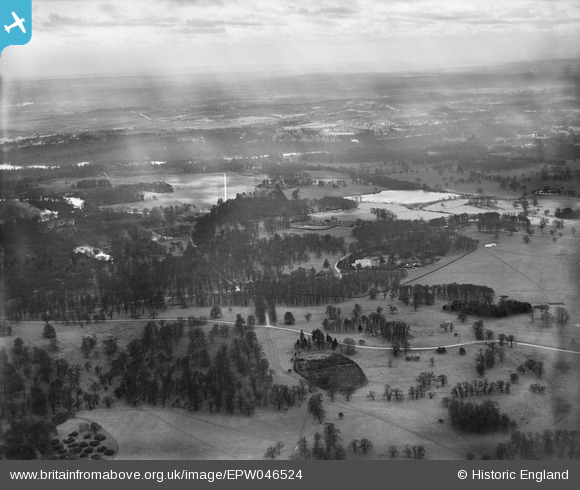
EPW046524 ENGLAND (1935). Royal Lodge and environs, Windsor Great Park, from the north-east, 1935
© Copyright OpenStreetMap contributors and licensed by the OpenStreetMap Foundation. 2026. Cartography is licensed as CC BY-SA.
Nearby Images (2)
EPW046524

EPW046516

Details
| Title | [EPW046524] Royal Lodge and environs, Windsor Great Park, from the north-east, 1935 |
| Reference | EPW046524 |
| Date | February-1935 |
| Link | |
| Place name | WINDSOR GREAT PARK |
| Parish | OLD WINDSOR |
| District | |
| Country | ENGLAND |
| Easting / Northing | 497577, 172405 |
| Longitude / Latitude | -0.59587300384123, 51.441732238082 |
| National Grid Reference | SU976724 |
Pins

Class31 |
Friday 3rd of May 2013 01:27:10 PM | |
|
Class31 |
Friday 3rd of May 2013 01:22:14 PM | |
|
Class31 |
Friday 3rd of May 2013 01:21:36 PM | |
|
Class31 |
Friday 3rd of May 2013 01:18:59 PM | |
|
Class31 |
Friday 3rd of May 2013 01:18:23 PM | |
|
Class31 |
Friday 3rd of May 2013 01:16:36 PM | |
|
Class31 |
Friday 3rd of May 2013 01:16:10 PM |
User Comment Contributions
Eureka I'm Confident on this one. I'll mark some of the features. A better quality of image than some I've seen previously for this area! |
Class31 |
Tuesday 2nd of July 2013 12:55:18 PM |
It is nice to have some that are better than those really murky shots over the airfield in the park...we'll update the catalogue and post the new record here in due course. Yours, Katy Britain from Above Cataloguing Team Leader |
Katy Whitaker |
Tuesday 2nd of July 2013 12:55:18 PM |
Windsor Great Park looking south towards Virginia Water. |
Class31 |
Friday 3rd of May 2013 01:14:08 PM |