
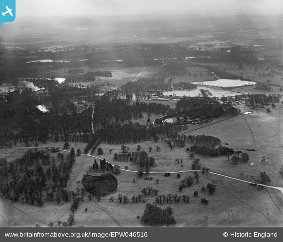
EPW046516 ENGLAND (1935). Royal Lodge and environs, Windsor Great Park, from the north-east, 1935
© Copyright OpenStreetMap contributors and licensed by the OpenStreetMap Foundation. 2026. Cartography is licensed as CC BY-SA.
Nearby Images (2)
EPW046516

EPW046524

Details
| Title | [EPW046516] Royal Lodge and environs, Windsor Great Park, from the north-east, 1935 |
| Reference | EPW046516 |
| Date | February-1935 |
| Link | |
| Place name | WINDSOR GREAT PARK |
| Parish | OLD WINDSOR |
| District | |
| Country | ENGLAND |
| Easting / Northing | 497391, 172473 |
| Longitude / Latitude | -0.59852995663425, 51.442375571219 |
| National Grid Reference | SU974725 |
Pins

Class31 |
Saturday 4th of May 2013 02:50:48 PM | |
|
Class31 |
Saturday 4th of May 2013 02:45:16 PM | |
|
Class31 |
Saturday 4th of May 2013 02:44:40 PM | |

TomRobin |
Saturday 4th of May 2013 01:02:24 AM | |
|
TomRobin |
Saturday 4th of May 2013 01:01:56 AM | |
|
TomRobin |
Saturday 4th of May 2013 01:01:28 AM | |
|
TomRobin |
Saturday 4th of May 2013 01:00:21 AM |
User Comment Contributions
Thank you for identifying the location of this image! We'll update the catalogue and post the new record here in due course. Yours, Katy Britain from Above Cataloguing Team Leader |
Katy Whitaker |
Tuesday 2nd of July 2013 12:54:11 PM |
Another view towards Virginia Water. |
Tony D |
Friday 3rd of May 2013 02:06:32 PM |