
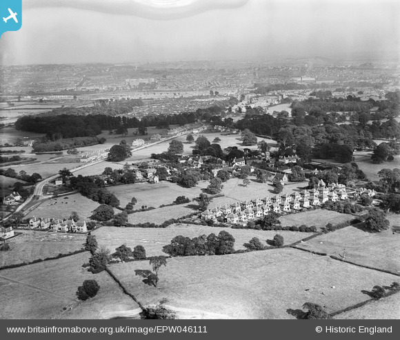
EPW046111 ENGLAND (1934). Wollaton village, May Avenue and environs, Wollaton, from the south-west, 1934
© Copyright OpenStreetMap contributors and licensed by the OpenStreetMap Foundation. 2025. Cartography is licensed as CC BY-SA.
Nearby Images (4)
EPW046111

EPW046110

EPW046109

EPW046112

Details
| Title | [EPW046111] Wollaton village, May Avenue and environs, Wollaton, from the south-west, 1934 |
| Reference | EPW046111 |
| Date | September-1934 |
| Link | |
| Place name | WOLLATON |
| Parish | |
| District | |
| Country | ENGLAND |
| Easting / Northing | 452126, 339794 |
| Longitude / Latitude | -1.2240464356403, 52.952674712659 |
| National Grid Reference | SK521398 |
Pins

Wardotron |
Monday 20th of July 2015 05:02:40 PM |