
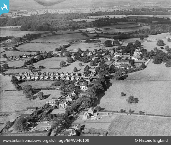
EPW046109 ENGLAND (1934). Wollaton village, May Avenue and environs, Wollaton, 1934
© Copyright OpenStreetMap contributors and licensed by the OpenStreetMap Foundation. 2025. Cartography is licensed as CC BY-SA.
Nearby Images (6)
EPW046109

EPW046112

EPW046110

EPW046108

EPW046107

EPW046111

Details
| Title | [EPW046109] Wollaton village, May Avenue and environs, Wollaton, 1934 |
| Reference | EPW046109 |
| Date | September-1934 |
| Link | |
| Place name | WOLLATON |
| Parish | |
| District | |
| Country | ENGLAND |
| Easting / Northing | 452299, 339749 |
| Longitude / Latitude | -1.2214786615573, 52.952253347956 |
| National Grid Reference | SK523397 |
