
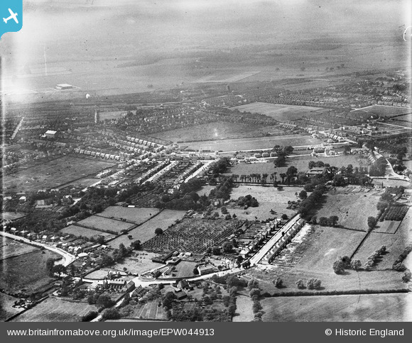
EPW044913 ENGLAND (1934). Garton End and environs, Peterborough, 1934
© Copyright OpenStreetMap contributors and licensed by the OpenStreetMap Foundation. 2026. Cartography is licensed as CC BY-SA.
Nearby Images (3)
EPW044913

EAW018533

EPW044914

Details
| Title | [EPW044913] Garton End and environs, Peterborough, 1934 |
| Reference | EPW044913 |
| Date | June-1934 |
| Link | |
| Place name | PETERBOROUGH |
| Parish | |
| District | |
| Country | ENGLAND |
| Easting / Northing | 519044, 300931 |
| Longitude / Latitude | -0.24239515815678, 52.592765856125 |
| National Grid Reference | TF190009 |
Pins
Be the first to add a comment to this image!