
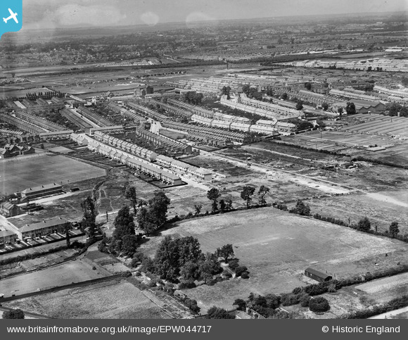
EPW044717 ENGLAND (1934). Woodlands Road, St Mary's Road and environs, Jubilee Park, from the south-east, 1934
© Copyright OpenStreetMap contributors and licensed by the OpenStreetMap Foundation. 2025. Cartography is licensed as CC BY-SA.
Nearby Images (10)
EPW044717

EPW044730

EPW044725

EPW044728

EPW044310

EPW044311

EPW044727

EPW044313

EPW044729

EPW044312

Details
| Title | [EPW044717] Woodlands Road, St Mary's Road and environs, Jubilee Park, from the south-east, 1934 |
| Reference | EPW044717 |
| Date | June-1934 |
| Link | |
| Place name | JUBILEE PARK |
| Parish | |
| District | |
| Country | ENGLAND |
| Easting / Northing | 535402, 194178 |
| Longitude / Latitude | -0.043491119324335, 51.629631601574 |
| National Grid Reference | TQ354942 |
Pins

john ruscoe |
Saturday 2nd of November 2013 04:52:47 AM |