
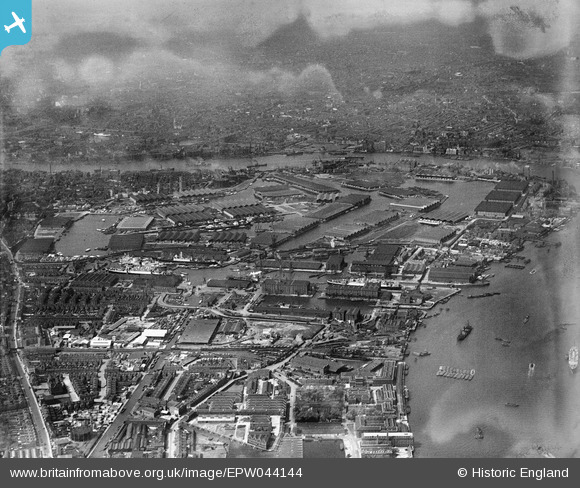
EPW044144 ENGLAND (1934). Surrey Commercial Docks, Rotherhithe, from the south-east, 1934
© Copyright OpenStreetMap contributors and licensed by the OpenStreetMap Foundation. 2026. Cartography is licensed as CC BY-SA.
Nearby Images (10)
EPW044144

EAW025496

EAW025500

EAW025499

EAW025497

EAW025501

EAW025495

EAW025498

EPW044147

EPW044145

Details
| Title | [EPW044144] Surrey Commercial Docks, Rotherhithe, from the south-east, 1934 |
| Reference | EPW044144 |
| Date | May-1934 |
| Link | |
| Place name | ROTHERHITHE |
| Parish | |
| District | |
| Country | ENGLAND |
| Easting / Northing | 536360, 178865 |
| Longitude / Latitude | -0.035597722126558, 51.491780614291 |
| National Grid Reference | TQ364789 |
