
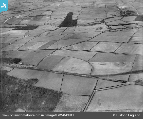
EPW043811 ENGLAND (1934). Ashtree Lane and the Garesfield and Chopwell Railway, Thornley Bank, from the south-east, 1934
© Copyright OpenStreetMap contributors and licensed by the OpenStreetMap Foundation. 2026. Cartography is licensed as CC BY-SA.
Nearby Images (2)
EPW043811

EPW043809

Details
| Title | [EPW043811] Ashtree Lane and the Garesfield and Chopwell Railway, Thornley Bank, from the south-east, 1934 |
| Reference | EPW043811 |
| Date | February-1934 |
| Link | |
| Place name | THORNLEY BANK |
| Parish | |
| District | |
| Country | ENGLAND |
| Easting / Northing | 415540, 559931 |
| Longitude / Latitude | -1.7574439172703, 54.933732042667 |
| National Grid Reference | NZ155599 |
