
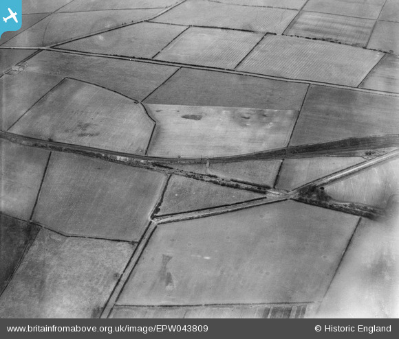
EPW043809 ENGLAND (1934). Ashtree Lane and the Garesfield and Chopwell Railway, Thornley Bank, 1934
© Copyright OpenStreetMap contributors and licensed by the OpenStreetMap Foundation. 2026. Cartography is licensed as CC BY-SA.
Nearby Images (3)
EPW043809

EPW043811

EPW043810

Details
| Title | [EPW043809] Ashtree Lane and the Garesfield and Chopwell Railway, Thornley Bank, 1934 |
| Reference | EPW043809 |
| Date | February-1934 |
| Link | |
| Place name | THORNLEY BANK |
| Parish | |
| District | |
| Country | ENGLAND |
| Easting / Northing | 415730, 560014 |
| Longitude / Latitude | -1.7544737886208, 54.934472030178 |
| National Grid Reference | NZ157600 |
Pins

totoro |
Tuesday 8th of March 2016 10:22:51 PM |