
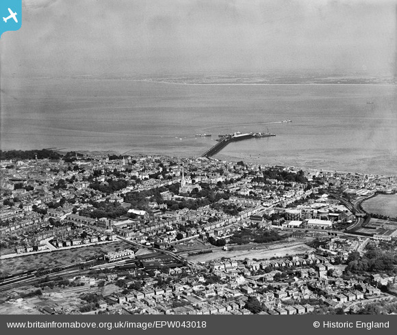
EPW043018 ENGLAND (1933). St John's Road Station, the town and the Solent, Ryde, from the south-east, 1933
© Copyright OpenStreetMap contributors and licensed by the OpenStreetMap Foundation. 2026. Cartography is licensed as CC BY-SA.
Nearby Images (10)
EPW043018

EAW025807

EAW025806

EAW025805

EAW025804

EAW025801

EAW025803

EAW025808

EAW025802

EPW039640

Details
| Title | [EPW043018] St John's Road Station, the town and the Solent, Ryde, from the south-east, 1933 |
| Reference | EPW043018 |
| Date | August-1933 |
| Link | |
| Place name | RYDE |
| Parish | RYDE |
| District | |
| Country | ENGLAND |
| Easting / Northing | 459653, 92086 |
| Longitude / Latitude | -1.1547773489678, 50.724757287379 |
| National Grid Reference | SZ597921 |
Pins

Ann E 21 |
Friday 28th of November 2014 12:35:52 AM | |
|
Ann E 21 |
Friday 28th of November 2014 12:16:34 AM | |
|
Ann E 21 |
Friday 28th of November 2014 12:13:48 AM | |
|
Ann E 21 |
Friday 28th of November 2014 12:10:53 AM | |
|
Ann E 21 |
Friday 28th of November 2014 12:09:26 AM | |

Class31 |
Tuesday 29th of October 2013 12:22:22 PM | |
|
flubber |
Wednesday 29th of May 2013 06:04:45 PM | |
|
flubber |
Wednesday 29th of May 2013 06:03:50 PM | |
|
flubber |
Wednesday 29th of May 2013 06:02:52 PM |

User Comment Contributions

An aerial view of Ryde, 18/07/2014 courtesy Con Shields |
Class31 |
Monday 21st of July 2014 05:10:00 PM |