
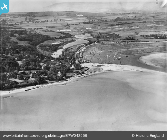
EPW042969 ENGLAND (1933). Bembridge Point and Harbour, Bembridge, from the north-east, 1933
© Copyright OpenStreetMap contributors and licensed by the OpenStreetMap Foundation. 2026. Cartography is licensed as CC BY-SA.
Nearby Images (3)
EPW042969

EPW042968

EPW000786

Details
| Title | [EPW042969] Bembridge Point and Harbour, Bembridge, from the north-east, 1933 |
| Reference | EPW042969 |
| Date | August-1933 |
| Link | |
| Place name | BEMBRIDGE |
| Parish | BEMBRIDGE |
| District | |
| Country | ENGLAND |
| Easting / Northing | 464292, 88851 |
| Longitude / Latitude | -1.0896195926175, 50.695171314611 |
| National Grid Reference | SZ643889 |
Pins

HALLY64 |
Thursday 8th of August 2013 03:27:13 PM |