
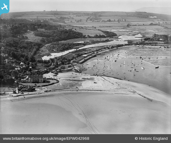
EPW042968 ENGLAND (1933). Bembridge Point and Harbour, Bembridge, from the north-east, 1933
© Copyright OpenStreetMap contributors and licensed by the OpenStreetMap Foundation. 2026. Cartography is licensed as CC BY-SA.
Nearby Images (2)
EPW042968

EPW042969

Details
| Title | [EPW042968] Bembridge Point and Harbour, Bembridge, from the north-east, 1933 |
| Reference | EPW042968 |
| Date | August-1933 |
| Link | |
| Place name | BEMBRIDGE |
| Parish | BEMBRIDGE |
| District | |
| Country | ENGLAND |
| Easting / Northing | 464209, 88860 |
| Longitude / Latitude | -1.0907931572728, 50.695261419667 |
| National Grid Reference | SZ642889 |
