
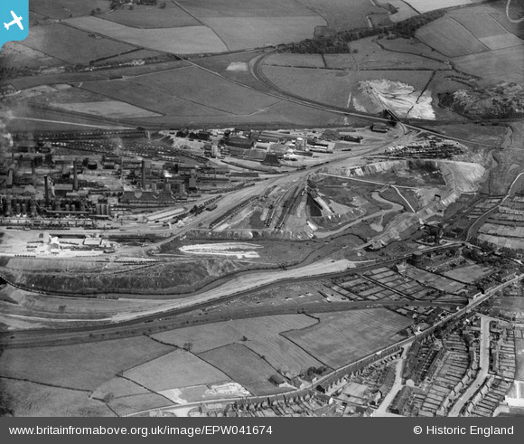
EPW041674 ENGLAND (1933). The Devonshire Iron and Chemical Works, Staveley, 1933
© Copyright OpenStreetMap contributors and licensed by the OpenStreetMap Foundation. 2026. Cartography is licensed as CC BY-SA.
Nearby Images (16)
EPW041674

EAW003070

EAW009691

EAW003064

EPW057347

EAW009690

EAW044346

EPW041680

EPW057346

EPW057332

EPW057344

EPW057339

EAW003063

EPW041676

EPW041675

EAW003071

Details
| Title | [EPW041674] The Devonshire Iron and Chemical Works, Staveley, 1933 |
| Reference | EPW041674 |
| Date | June-1933 |
| Link | |
| Place name | STAVELEY |
| Parish | STAVELEY |
| District | |
| Country | ENGLAND |
| Easting / Northing | 442694, 374814 |
| Longitude / Latitude | -1.3597829427737, 53.268320360836 |
| National Grid Reference | SK427748 |
Pins

Peter Turvey |
Friday 24th of April 2015 06:59:22 PM |