
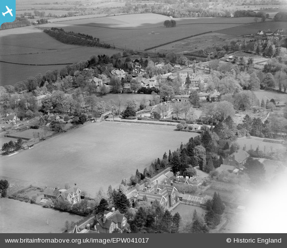
EPW041017 ENGLAND (1933). Winton House School playing fields and environs, Winchester, 1933
© Copyright OpenStreetMap contributors and licensed by the OpenStreetMap Foundation. 2025. Cartography is licensed as CC BY-SA.
Nearby Images (7)
EPW041017

EPW041015

EPW041014

EPW041020

EPW041019

EPW041016

EPW041018

Details
| Title | [EPW041017] Winton House School playing fields and environs, Winchester, 1933 |
| Reference | EPW041017 |
| Date | April-1933 |
| Link | |
| Place name | WINCHESTER |
| Parish | |
| District | |
| Country | ENGLAND |
| Easting / Northing | 447676, 130649 |
| Longitude / Latitude | -1.3194285241068, 51.072653303998 |
| National Grid Reference | SU477306 |
Pins
Be the first to add a comment to this image!