
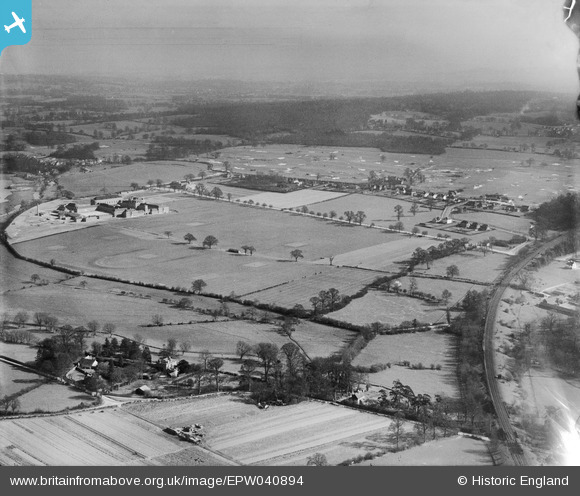
EPW040894 ENGLAND (1933). The Merchant Taylors' School and environs, Moor Park, from the north-west, 1933
© Copyright OpenStreetMap contributors and licensed by the OpenStreetMap Foundation. 2026. Cartography is licensed as CC BY-SA.
Nearby Images (2)
EPW040894

EPW031289

Details
| Title | [EPW040894] The Merchant Taylors' School and environs, Moor Park, from the north-west, 1933 |
| Reference | EPW040894 |
| Date | March-1933 |
| Link | |
| Place name | MOOR PARK |
| Parish | |
| District | |
| Country | ENGLAND |
| Easting / Northing | 508374, 194230 |
| Longitude / Latitude | -0.43384289819888, 51.635956051773 |
| National Grid Reference | TQ084942 |
Pins
Be the first to add a comment to this image!