EPW031289 ENGLAND (1930). The River Colne at Tolpits, Northwood, 1930

© Copyright OpenStreetMap contributors and licensed by the OpenStreetMap Foundation. 2026. Cartography is licensed as CC BY-SA.
Nearby Images (2)
EPW031289

EPW040894

Details
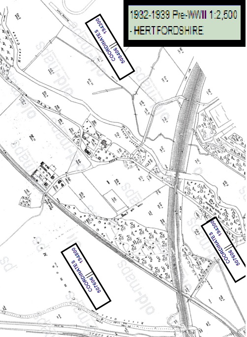
| Title | [EPW031289] The River Colne at Tolpits, Northwood, 1930 |
| Reference | EPW031289 |
| Date | 11-February-1930 |
| Link | |
| Place name | NORTHWOOD |
| Parish | |
| District | |
| Country | ENGLAND |
| Easting / Northing | 508139, 194322 |
| Longitude / Latitude | -0.43720918745652, 51.636828271603 |
| National Grid Reference | TQ081943 |
Pins

LesMead |
Wednesday 8th of May 2013 11:30:29 AM | |

Class31 |
Thursday 18th of October 2012 11:13:15 PM | |
|
Class31 |
Thursday 18th of October 2012 11:12:52 PM | |
|
Class31 |
Thursday 18th of October 2012 10:56:12 PM | |
|
Class31 |
Thursday 18th of October 2012 10:51:28 PM | |
|
Class31 |
Thursday 18th of October 2012 10:47:26 PM |