
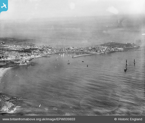
EPW039833 ENGLAND (1932). The harbour and St Ives Head, St Ives, from the east, 1932
© Copyright OpenStreetMap contributors and licensed by the OpenStreetMap Foundation. 2025. Cartography is licensed as CC BY-SA.
Nearby Images (3)
EPW039833

EPW059855

EPW021745

Details
| Title | [EPW039833] The harbour and St Ives Head, St Ives, from the east, 1932 |
| Reference | EPW039833 |
| Date | August-1932 |
| Link | |
| Place name | ST IVES |
| Parish | ST. IVES |
| District | |
| Country | ENGLAND |
| Easting / Northing | 152328, 40525 |
| Longitude / Latitude | -5.4718856006995, 50.212185559159 |
| National Grid Reference | SW523405 |
Pins

totoro |
Wednesday 2nd of April 2014 10:02:06 PM | |
|
totoro |
Wednesday 2nd of April 2014 09:47:46 PM | |
|
totoro |
Wednesday 2nd of April 2014 09:46:50 PM | |
|
totoro |
Wednesday 2nd of April 2014 09:46:11 PM | |
|
totoro |
Wednesday 2nd of April 2014 09:43:39 PM | |
|
totoro |
Wednesday 2nd of April 2014 09:40:56 PM | |
|
totoro |
Wednesday 2nd of April 2014 09:40:15 PM | |
|
totoro |
Wednesday 2nd of April 2014 09:39:46 PM | |
|
totoro |
Wednesday 2nd of April 2014 09:39:18 PM |