
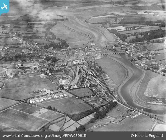
EPW039815 ENGLAND (1932). The town alongside the River Camel, Wadebridge, 1932
© Copyright OpenStreetMap contributors and licensed by the OpenStreetMap Foundation. 2026. Cartography is licensed as CC BY-SA.
Nearby Images (6)
EPW039815

EPW033052

EPW039812

EPW033048

EPW039814

EPW033049

Details
| Title | [EPW039815] The town alongside the River Camel, Wadebridge, 1932 |
| Reference | EPW039815 |
| Date | August-1932 |
| Link | |
| Place name | WADEBRIDGE |
| Parish | WADEBRIDGE |
| District | |
| Country | ENGLAND |
| Easting / Northing | 199114, 72228 |
| Longitude / Latitude | -4.8339020954941, 50.514723164047 |
| National Grid Reference | SW991722 |
Pins
Be the first to add a comment to this image!