
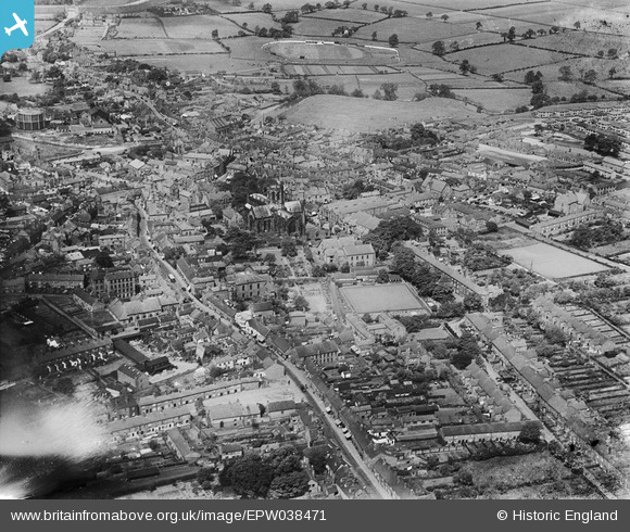
EPW038471 ENGLAND (1932). St Mary's Church and the town centre, Nantwich, 1932
© Copyright OpenStreetMap contributors and licensed by the OpenStreetMap Foundation. 2026. Cartography is licensed as CC BY-SA.
Nearby Images (7)
EPW038471

EPW038474

EPW060149

EPW060148

EPW038475

EPW038473

EPW038472

Details
| Title | [EPW038471] St Mary's Church and the town centre, Nantwich, 1932 |
| Reference | EPW038471 |
| Date | June-1932 |
| Link | |
| Place name | NANTWICH |
| Parish | NANTWICH |
| District | |
| Country | ENGLAND |
| Easting / Northing | 365266, 352325 |
| Longitude / Latitude | -2.5184168115737, 53.066734481386 |
| National Grid Reference | SJ653523 |
Pins
Be the first to add a comment to this image!