
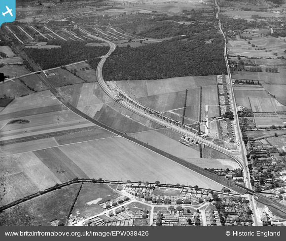
EPW038426 ENGLAND (1932). New housing site alongside Welling Way, Oxleas Wood and Bellegrove Road, Welling, 1932
© Copyright OpenStreetMap contributors and licensed by the OpenStreetMap Foundation. 2026. Cartography is licensed as CC BY-SA.
Nearby Images (6)
EPW038426

EPW044356

EPW038424

EPW044276

EPW044278

EPW044277

Details
| Title | [EPW038426] New housing site alongside Welling Way, Oxleas Wood and Bellegrove Road, Welling, 1932 |
| Reference | EPW038426 |
| Date | 14-June-1932 |
| Link | |
| Place name | WELLING |
| Parish | |
| District | |
| Country | ENGLAND |
| Easting / Northing | 545187, 175797 |
| Longitude / Latitude | 0.090214659970102, 51.462011889387 |
| National Grid Reference | TQ452758 |
