
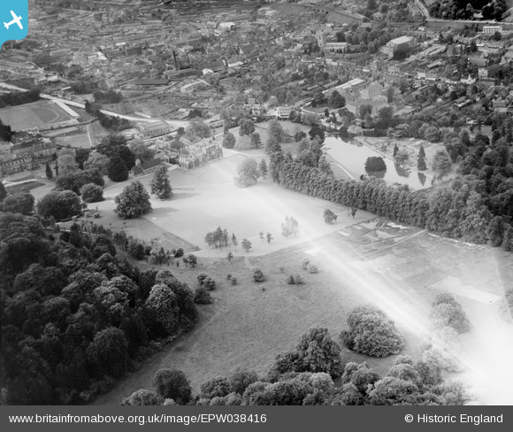
EPW038416 ENGLAND (1932). Wycombe Abbey School and environs, Wycombe, 1932. This image has been affected by flare.
© Copyright OpenStreetMap contributors and licensed by the OpenStreetMap Foundation. 2026. Cartography is licensed as CC BY-SA.
Nearby Images (9)
EPW038416

EAW024278

EPW038415

EAW024279

EPW034491

EPW034496

EPW034492

EPW017828

EPW017826

Details
| Title | [EPW038416] Wycombe Abbey School and environs, Wycombe, 1932. This image has been affected by flare. |
| Reference | EPW038416 |
| Date | June-1932 |
| Link | |
| Place name | HIGH WYCOMBE |
| Parish | |
| District | |
| Country | ENGLAND |
| Easting / Northing | 486645, 192506 |
| Longitude / Latitude | -0.74819343966585, 51.624224840735 |
| National Grid Reference | SU866925 |
Pins
Be the first to add a comment to this image!