
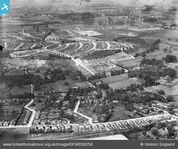
EPW038258 ENGLAND (1932). New housing around Marlborough Park and environs, Sidcup, 1932
© Copyright OpenStreetMap contributors and licensed by the OpenStreetMap Foundation. 2026. Cartography is licensed as CC BY-SA.
Nearby Images (6)
EPW038258

EPW044396

EPW044393

EPW038259

EPW038261

EPW038257

Details
| Title | [EPW038258] New housing around Marlborough Park and environs, Sidcup, 1932 |
| Reference | EPW038258 |
| Date | June-1932 |
| Link | |
| Place name | SIDCUP |
| Parish | |
| District | |
| Country | ENGLAND |
| Easting / Northing | 546239, 173281 |
| Longitude / Latitude | 0.10430891936836, 51.439130964598 |
| National Grid Reference | TQ462733 |
Pins

Barney |
Sunday 20th of May 2018 09:41:07 AM | |
|
Barney |
Sunday 20th of May 2018 09:39:38 AM | |
|
Barney |
Sunday 20th of May 2018 09:38:06 AM | |
|
Barney |
Sunday 20th of May 2018 09:36:00 AM | |

billybuttons |
Tuesday 1st of December 2015 09:26:06 PM | |
|
Stephen Challis |
Friday 13th of February 2015 08:54:12 PM | |
|
Stephen Challis |
Friday 13th of February 2015 08:53:52 PM | |
|
Stephen Challis |
Friday 13th of February 2015 08:53:35 PM | |
|
Stephen Challis |
Friday 13th of February 2015 08:52:56 PM | |
|
David j |
Friday 14th of November 2014 10:05:15 PM | |
|
David j |
Friday 14th of November 2014 10:05:15 PM |