
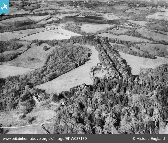
EPW037179 ENGLAND (1931). Railand Wood, The Wilderness and the driveway to Wadhurst Hall, Wadhurst Park, 1931
© Copyright OpenStreetMap contributors and licensed by the OpenStreetMap Foundation. 2026. Cartography is licensed as CC BY-SA.
Nearby Images (8)
EPW037179

EPW037171

EPW037178

EPW037186

EPW037162

EPW037165

EPW037172

EPW037176

Details
| Title | [EPW037179] Railand Wood, The Wilderness and the driveway to Wadhurst Hall, Wadhurst Park, 1931 |
| Reference | EPW037179 |
| Date | November-1931 |
| Link | |
| Place name | WADHURST PARK |
| Parish | WADHURST |
| District | |
| Country | ENGLAND |
| Easting / Northing | 562857, 129023 |
| Longitude / Latitude | 0.32310460535579, 51.036918825003 |
| National Grid Reference | TQ629290 |
Pins
Be the first to add a comment to this image!