
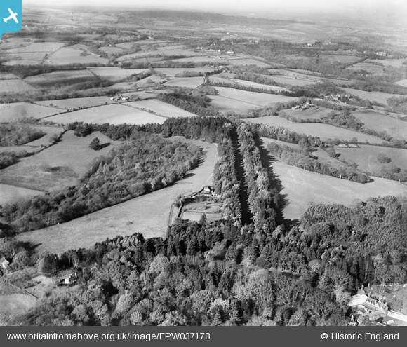
EPW037178 ENGLAND (1931). The driveway to Wadhurst Hall and surrounding countryside, Wadhurst Park, from the south-east, 1931
© Copyright OpenStreetMap contributors and licensed by the OpenStreetMap Foundation. 2026. Cartography is licensed as CC BY-SA.
Nearby Images (9)
EPW037178

EPW037172

EPW037186

EPW037176

EPW037179

EPW037171

EPW037201

EPW037204

EPW037187

Details
| Title | [EPW037178] The driveway to Wadhurst Hall and surrounding countryside, Wadhurst Park, from the south-east, 1931 |
| Reference | EPW037178 |
| Date | November-1931 |
| Link | |
| Place name | WADHURST PARK |
| Parish | WADHURST |
| District | |
| Country | ENGLAND |
| Easting / Northing | 562987, 128923 |
| Longitude / Latitude | 0.32491239033029, 51.03598338123 |
| National Grid Reference | TQ630289 |
Pins
Be the first to add a comment to this image!