
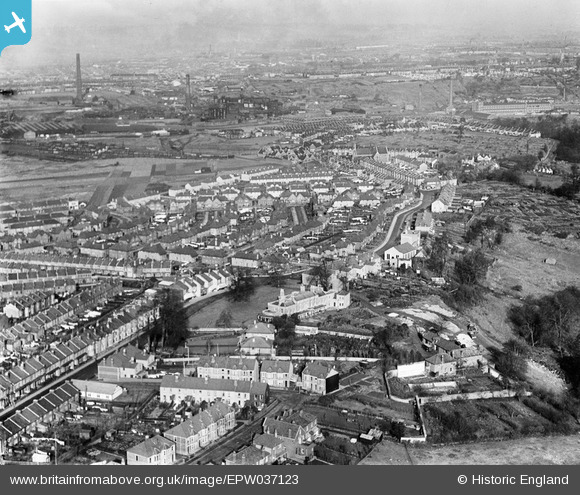
EPW037123 ENGLAND (1931). Housing surrounding Wick Road and Sutton Avenue, Brislington, from the south, 1931
© Copyright OpenStreetMap contributors and licensed by the OpenStreetMap Foundation. 2026. Cartography is licensed as CC BY-SA.
Nearby Images (11)
EPW037123

EPW037119

EPW037122

EPW037124

EPW037121

EPW037116

EPW037115

EPW037120

EPW037114

EPW037117

EPW037118

Details
| Title | [EPW037123] Housing surrounding Wick Road and Sutton Avenue, Brislington, from the south, 1931 |
| Reference | EPW037123 |
| Date | October-1931 |
| Link | |
| Place name | BRISLINGTON |
| Parish | |
| District | |
| Country | ENGLAND |
| Easting / Northing | 361858, 171561 |
| Longitude / Latitude | -2.5488451008332, 51.44126633223 |
| National Grid Reference | ST619716 |
Pins

kellysheppard510@ymail.com |
Tuesday 17th of January 2017 02:33:03 PM | |
|
kellysheppard510@ymail.com |
Tuesday 17th of January 2017 02:31:56 PM | |
|
kellysheppard510@ymail.com |
Tuesday 17th of January 2017 02:29:58 PM | |

Class31 |
Sunday 3rd of February 2013 10:28:56 PM | |
|
Class31 |
Sunday 3rd of February 2013 10:26:11 PM | |
|
Class31 |
Sunday 3rd of February 2013 09:47:24 PM |