
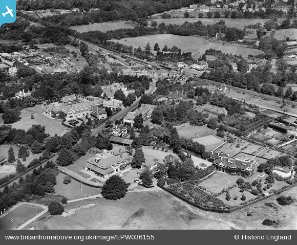
EPW036155 ENGLAND (1931). Ridge Mount Road and environs, Broomhall, 1931
© Copyright OpenStreetMap contributors and licensed by the OpenStreetMap Foundation. 2025. Cartography is licensed as CC BY-SA.
Nearby Images (3)
EPW036155

EPW036158

EPW042992

Details
| Title | [EPW036155] Ridge Mount Road and environs, Broomhall, 1931 |
| Reference | EPW036155 |
| Date | August-1931 |
| Link | |
| Place name | BROOMHALL |
| Parish | SUNNINGDALE |
| District | |
| Country | ENGLAND |
| Easting / Northing | 495319, 166516 |
| Longitude / Latitude | -0.62993917539246, 51.389174357297 |
| National Grid Reference | SU953665 |
Pins
Be the first to add a comment to this image!