
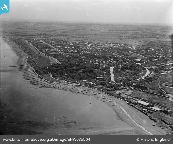
EPW035504 ENGLAND (1931). Tankerton Road and the town, Whitstable, from the north-west, 1931
© Copyright OpenStreetMap contributors and licensed by the OpenStreetMap Foundation. 2026. Cartography is licensed as CC BY-SA.
Nearby Images (2)
EPW035504

EPW018624

Details
| Title | [EPW035504] Tankerton Road and the town, Whitstable, from the north-west, 1931 |
| Reference | EPW035504 |
| Date | May-1931 |
| Link | |
| Place name | WHITSTABLE |
| Parish | |
| District | |
| Country | ENGLAND |
| Easting / Northing | 611172, 167271 |
| Longitude / Latitude | 1.0338942529413, 51.364682669064 |
| National Grid Reference | TR112673 |
